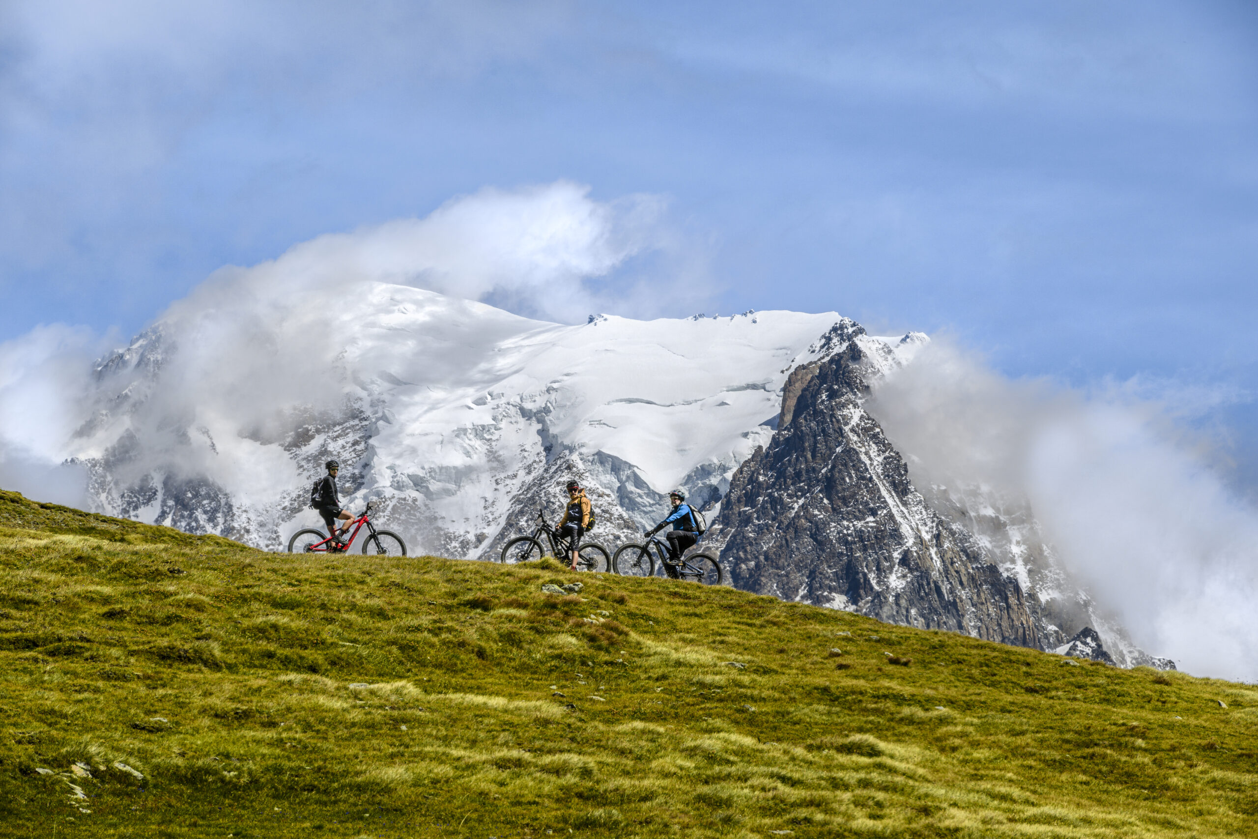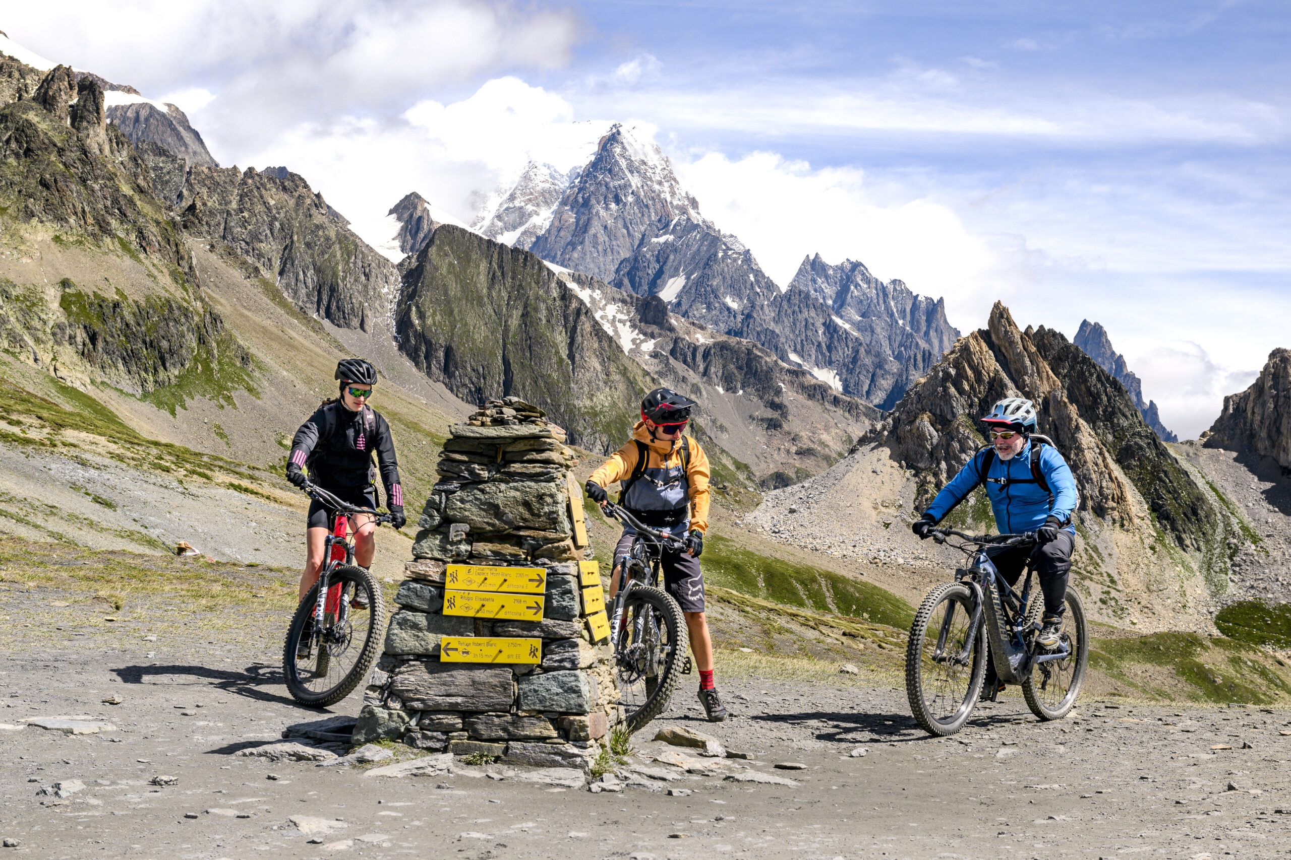
The ‘E-bike Mont-Blanc’ project has as its main objective the sustainable enhancement of Mont Blanc’s natural and cultural heritage.
The chosen strategy is to develop routes suitable for e-bike use in a respectful and sustainable manner on both sides of Mont Blanc, involving local operators and companies.
In addition to enhancing and developing the e-bike offer, a new summer transport service specifically for e-bikes has been activated between Courmayeur and Chamonix, with free shuttles, bookable via app, equipped with suitable bike racks.
From Tuesday to Saturday, from 21 June to 31 August, excluding the week of Ferragosto (bank holiday), it will be possible to go from one side of the border to the other, to cycle over a much wider area.
The shuttle service will operate at the following times:

2h30 – 16km – 900m D+
Starting from the picturesque Piazza Abbé Henry, the heart of Courmayeur, it is possible to pause for a few moments at the Parc de la Rimembranza and the bust of Carducci placed in front of the Courmayeur Town Hall for a moment of reflection and appreciation of local history.
The itinerary then passes through the hamlets of Entrèves and La Saxe before reaching the departure point of the Val Veny cable car. From here, take the farm road (next to the helicopter hangar) along which you can admire the Sanctuary of Notre Dame de Guérison. Then follow the road as far as the hamlet of La Zerotta where, on the left, follow the farm track as far as the Courba area, passing first by the Pré de Pascal.
From here, we descend towards the Maison Vieille refuge with a breathtaking view of Mont Blanc and Courmayeur before reaching Plan Chécrouit. The itinerary ends by descending along the consortium road to Dolonne and then returning to Courmayeur, passing by the Courmayeur Sport Center: a reference point for local sportsmen and visitors.
Click here to see the GPX track – Android
Click here to see the GPX track – Apple

5h – 35km – 1.350m D+
Starting from the picturesque Abbé Henry Square, the heart of Courmayeur, the route descends to Dolonne, passing by the Courmayeur Sport Center: a reference point for local and visiting sportsmen. It continues through the hamlet of Entrelevie and on to La Saxe, a mountain village that retains its historic charm.
The itinerary passes through the hamlet of Entrèves, where the church of Santa Margherita and Skyway Monte Bianco are located, and then continues on to Notre Dame de la Guérison: a shrine whose history still fascinates considerably.
We pass the Brenva glacier and the Miage moraine and then cross the Peuterey forest, a lush green area rich in flora and fauna, to reach the Casermetta. Before reaching the Elisabetta Refuge and then the Col de la Seigne, the last leg of the trail with breathtaking views, we skirt the Pyramides Calcaires, unique rock formations.
Click here to see the GPX track – Android
Click here to see the GPX track – Apple

3h30 – 28km – 950m D+
The route begins in the picturesque Abbé Henry Square, the heart of Courmayeur.
From here, we head to La Saxe, a charming mountain village and then descend to Entrèves, famous for its stone houses and narrow alleys.
The route continues uphill to La Palud, reaching the bike/pedestrian path that leads to Planpincieux. The route then winds along Val Ferret, passing by the imposing Planpincieux glacier.
Visit the huts of Pra Sec, evidence of rural Alpine life, and admire the biodiversity of Lavachey, an area rich in flora and fauna typical of the Alps.
Passing by the historic Arnouva Barracks, you will finally climb to the Elena Refuge, the last stage offering spectacular views and a perfect end point to enjoy the unspoiled nature.
Click here to see the GPX track – Android
Click here to see the GPX track – Apple


